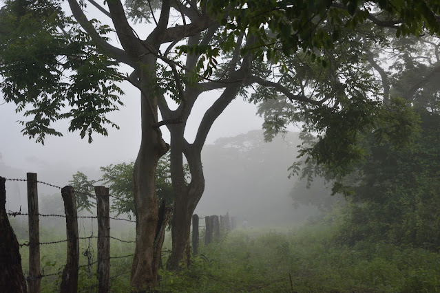
Trails
 Capuchins don’t follow trails, and moneros, by necessity, don’t either. We spend large parts of our days crashing through thickets of bamboo or gingerly creeping our way through endless patches of spiky bromeliads, trying to keep one eye on the black shapes flitting happily overhead. But on search days, and at dawn and dusk, trails are very useful for getting us home as quickly and safely as possible. When Susan came to Lomas in 1990, there were only two trails in the park—Colegio, made by local high school students under the direction of our friend Don Pedro, and Corral, which led from the ranger station to the paddock where the park guards’ horses were kept.
When Susan and her husband Joe first tried to add to this trail system, they kept veering left to avoid especially nasty thickets—and eventually ended up right back where they started. The resulting “Trail to Nowhere” was eventually rechristened “Trail to Somewhere” once the thickets were broken through.
Since that time, moneros have continued to add new trails with generous help from the park service and community friends. The project now boasts a network of over 50 trails stretching between the Pijije and Cabuyo rivers, which enclose the core of our study area. Most of these “trails” are simply narrow paths marked with biodegradable pink flagging tape every few meters. Each trail has a name, and trail intersections are marked on our GPSs to make navigation easier. Every few months, moneros take a break from monkey watching to do a “trail clearing” day, during which they remove new logs and plants that are obstructing the trails.

Comments
Post a Comment